


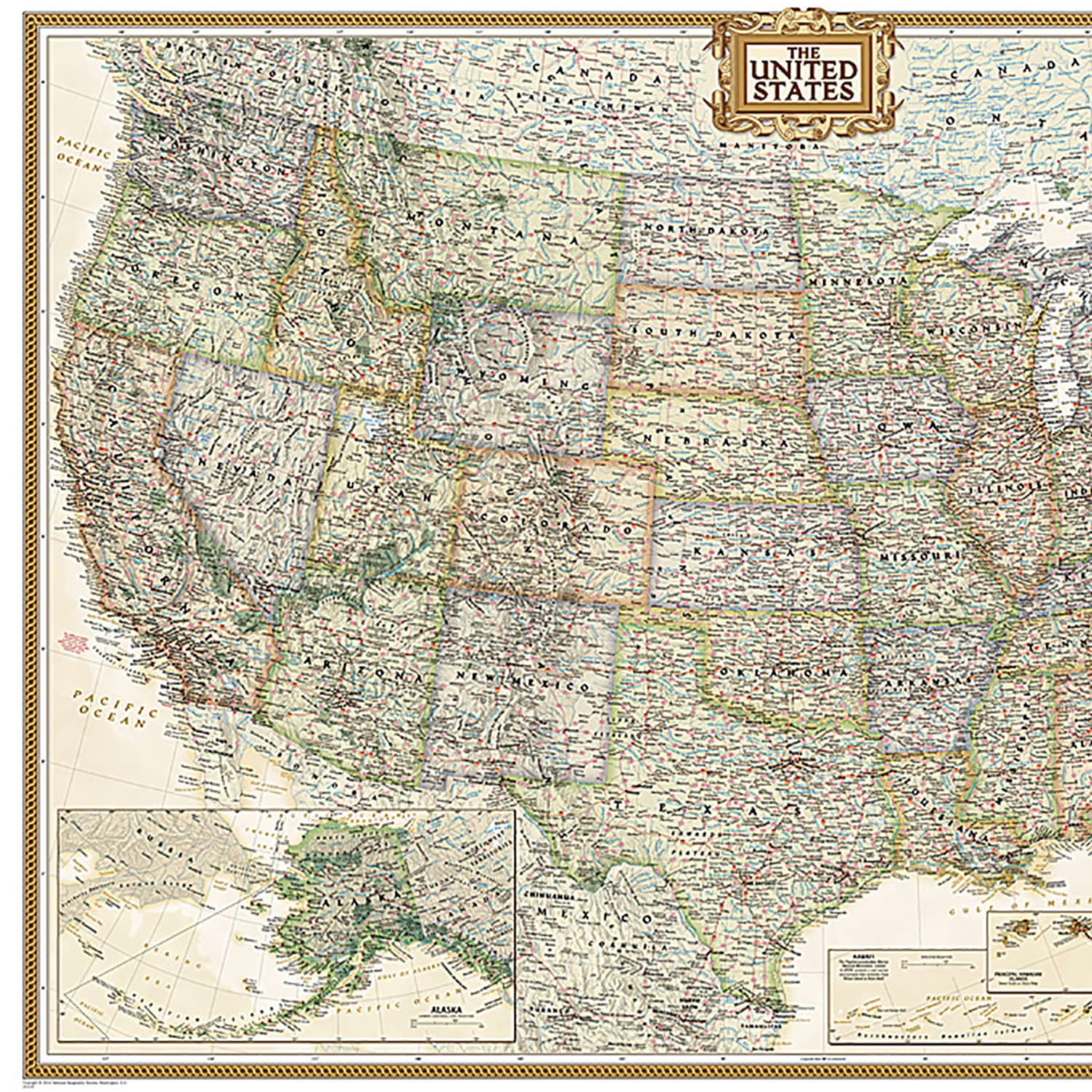
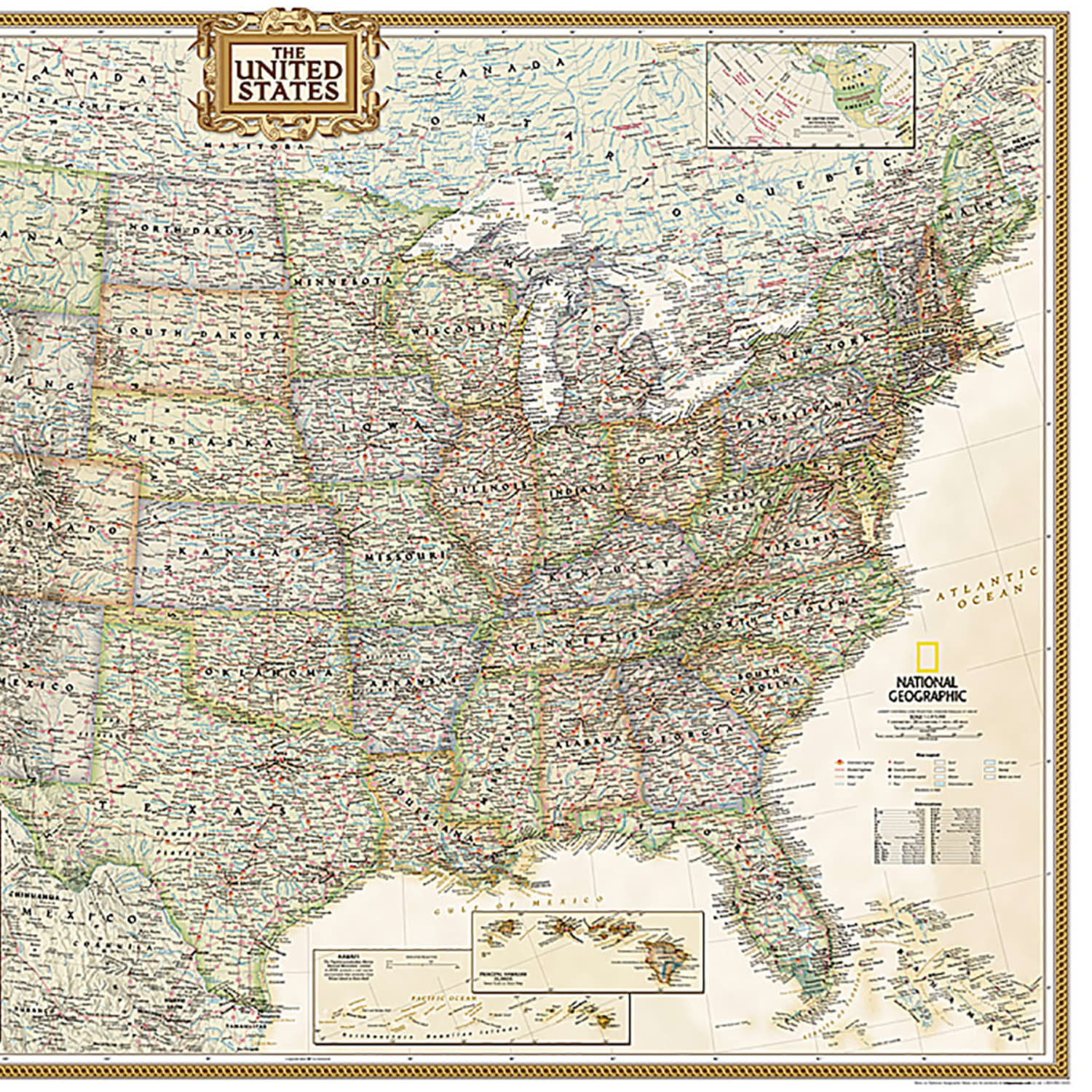
National Geographic United States Executive Map, Enlarged and Laminated, 69.25in x 48in
Original price was: $94.29.$57.99Current price is: $57.99.
The More You Buy, The More You Save:
| Quantity | 2 + | 5 + | 10 + |
|---|---|---|---|
| Price | $57.93 | $57.87 | $57.82 |
Out of stock
Expertly researched and designed, National Geographics United States wall map is the standard by which other reference maps of the U.S. are measured. Antique-style “executive” color palette.
- All 50 states with insets for Hawaiian Islands and Alaska plus inset showing relative size of Alaska.
- Clearly defined state and country boundaries, cities, islands, national parks, and physical features.
- Thousands of place names carefully and artfully placed to maintain legibility in heavily populated areas.
- Background shows mountain ranges and valleys in subtle shaded relief with mountain ranges labeled.
- Major water bodies including rivers, lakes, gulfs, bays, straits, and ocean bathymetry.
- Transportation routes including interstate highways, major state routes, airports, waterways, canals, and ferries.
- Enlarged maps provide an immersive experience in any home or office environment.
- The exceptional cartography is even easier to appreciate at the larger size.
- The map is encapsulated in heavy-duty 1.6 mil laminate which makes the paper much more durable and resistant to the swelling and shrinking caused by changes in humidity.
- Laminated maps can be framed without the need for glass, so the frames can be much lighter and less expensive.
- Measures 69.25in x 48in.
| Weight | 0.94 lbs |
|---|---|
| Dimensions | 53 × 2 × 2 in |
Be the first to review “National Geographic United States Executive Map, Enlarged and Laminated, 69.25in x 48in”
Related products
Classroom Teaching Resources
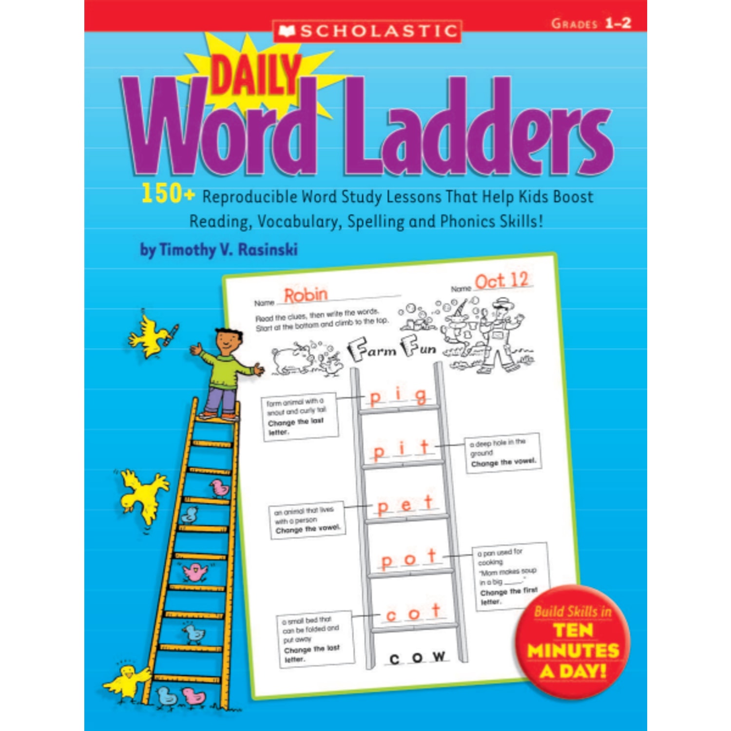
Scholastic Daily Word Ladders: Grades 1-2, 176 Pages (88 Sheets)
Classroom Teaching Resources
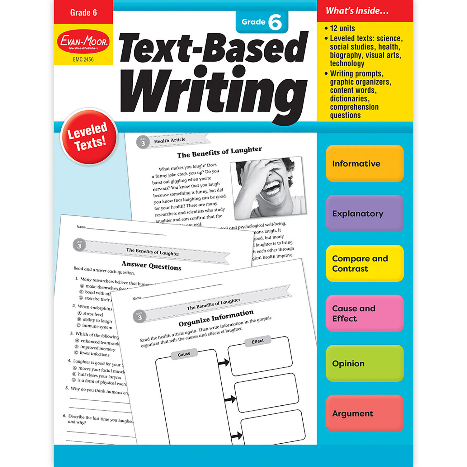
Evan-Moor Educational Publishers Text-Based Writing, Grade 6
Classroom Teaching Resources
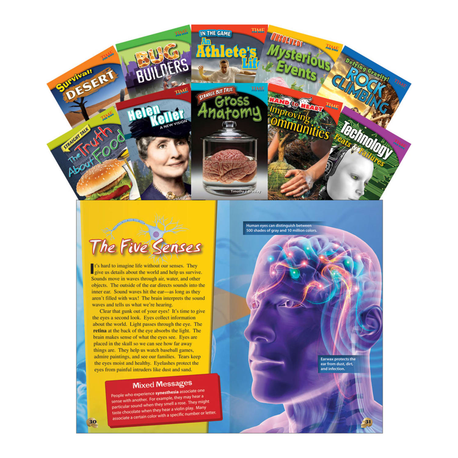
Teacher Created Materials TIME FOR KIDS Nonfiction Book Set, Set 1, Set Of 10 Books, Grade 4

Classroom Teaching Resources
Teacher Created Materials TIME Informational Text Set, Set 3, Grade 6, Set Of 5 Books

Classroom Teaching Resources
Classroom Teaching Resources
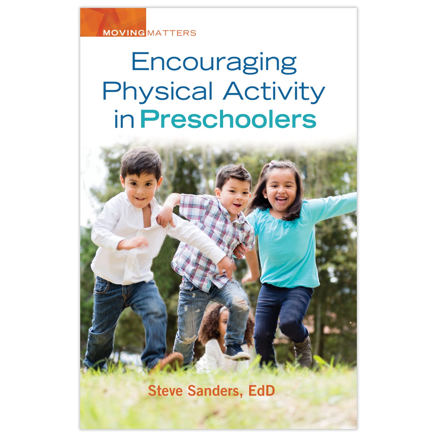
Gryphon House Encouraging Physical Activity In Preschoolers Book

Classroom Teaching Resources
Classroom Teaching Resources
Reviews
There are no reviews yet.